The Nature Conservancy
New Hampshire Map
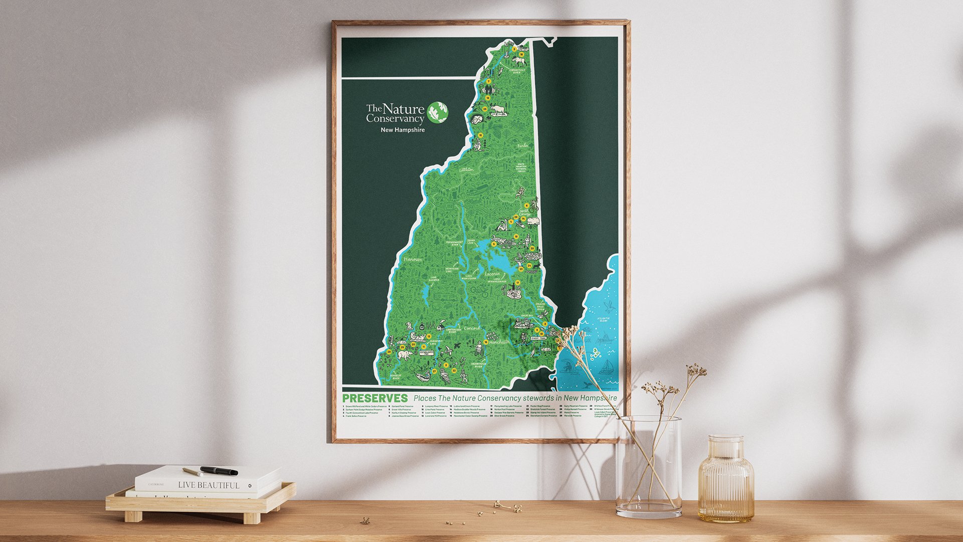
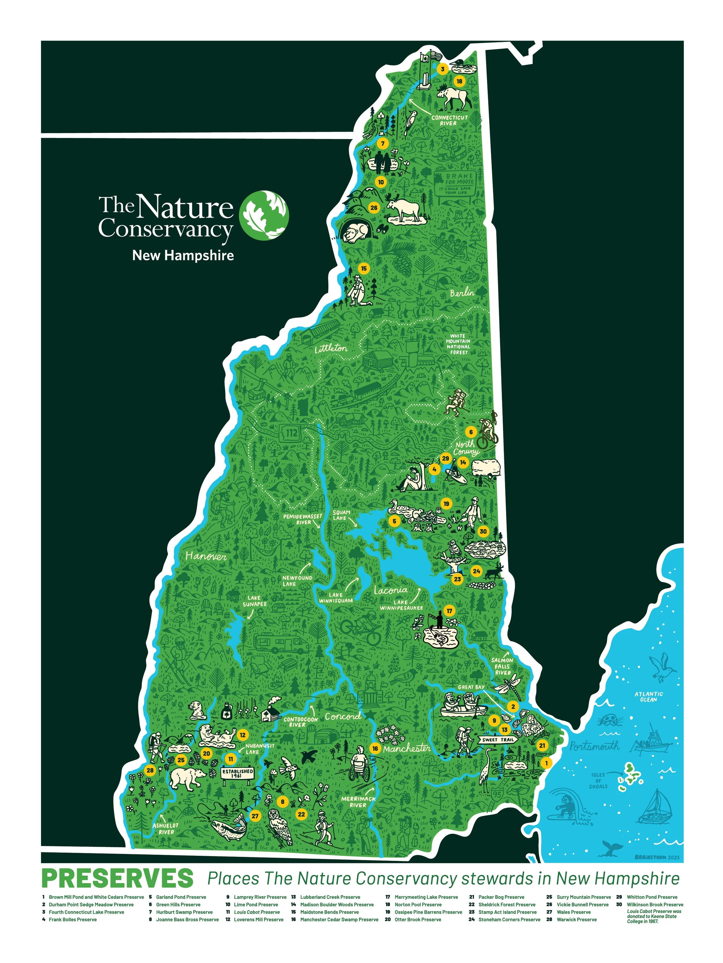
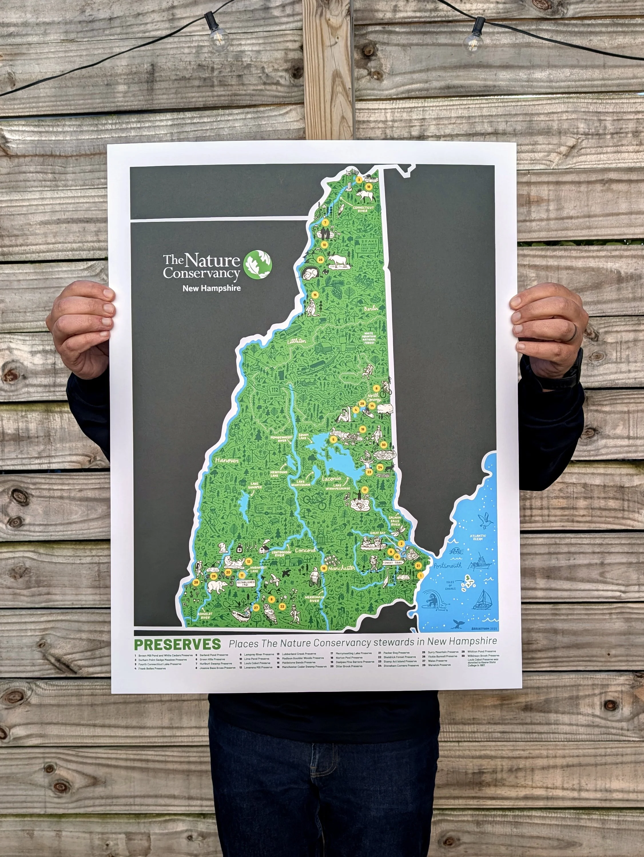
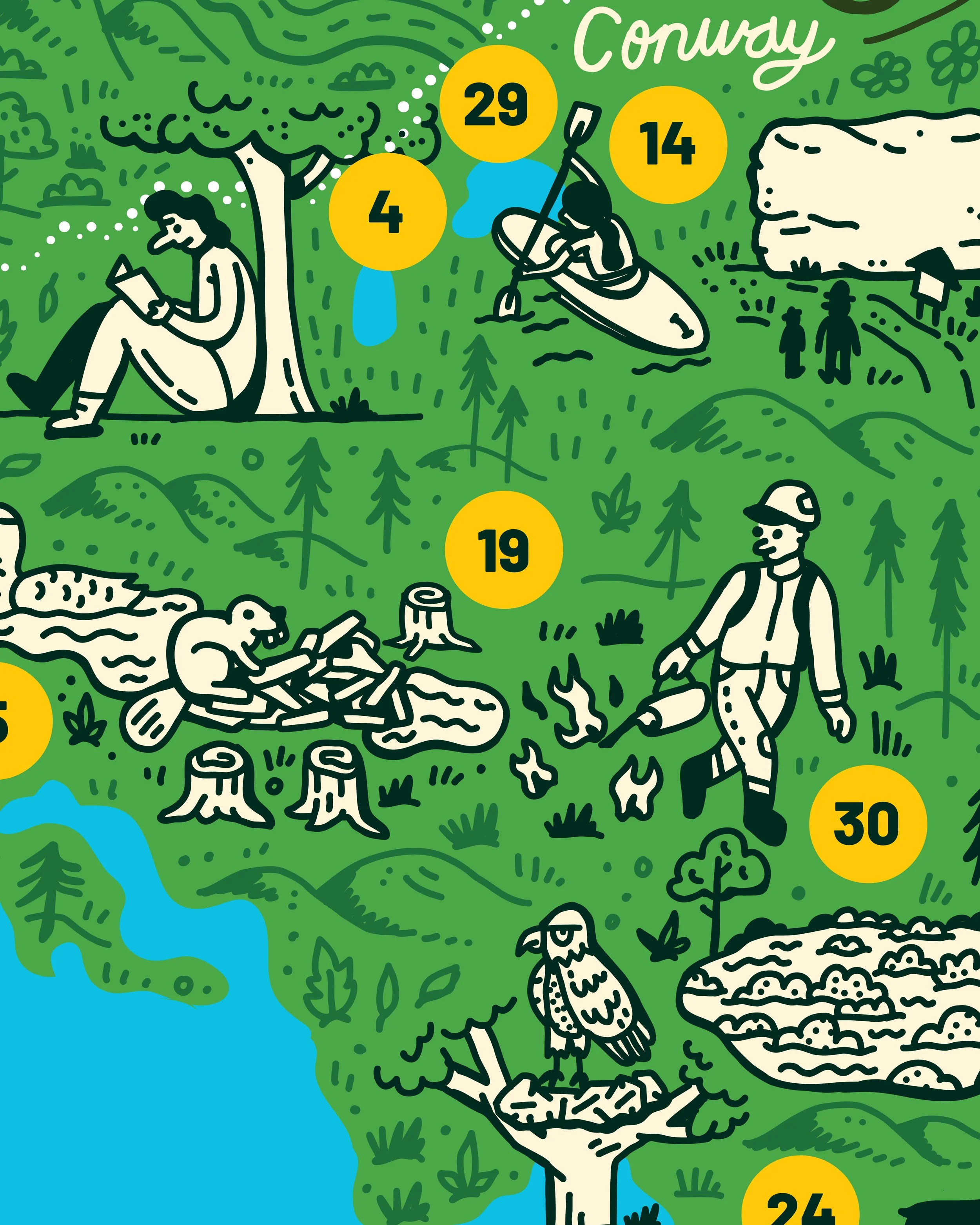
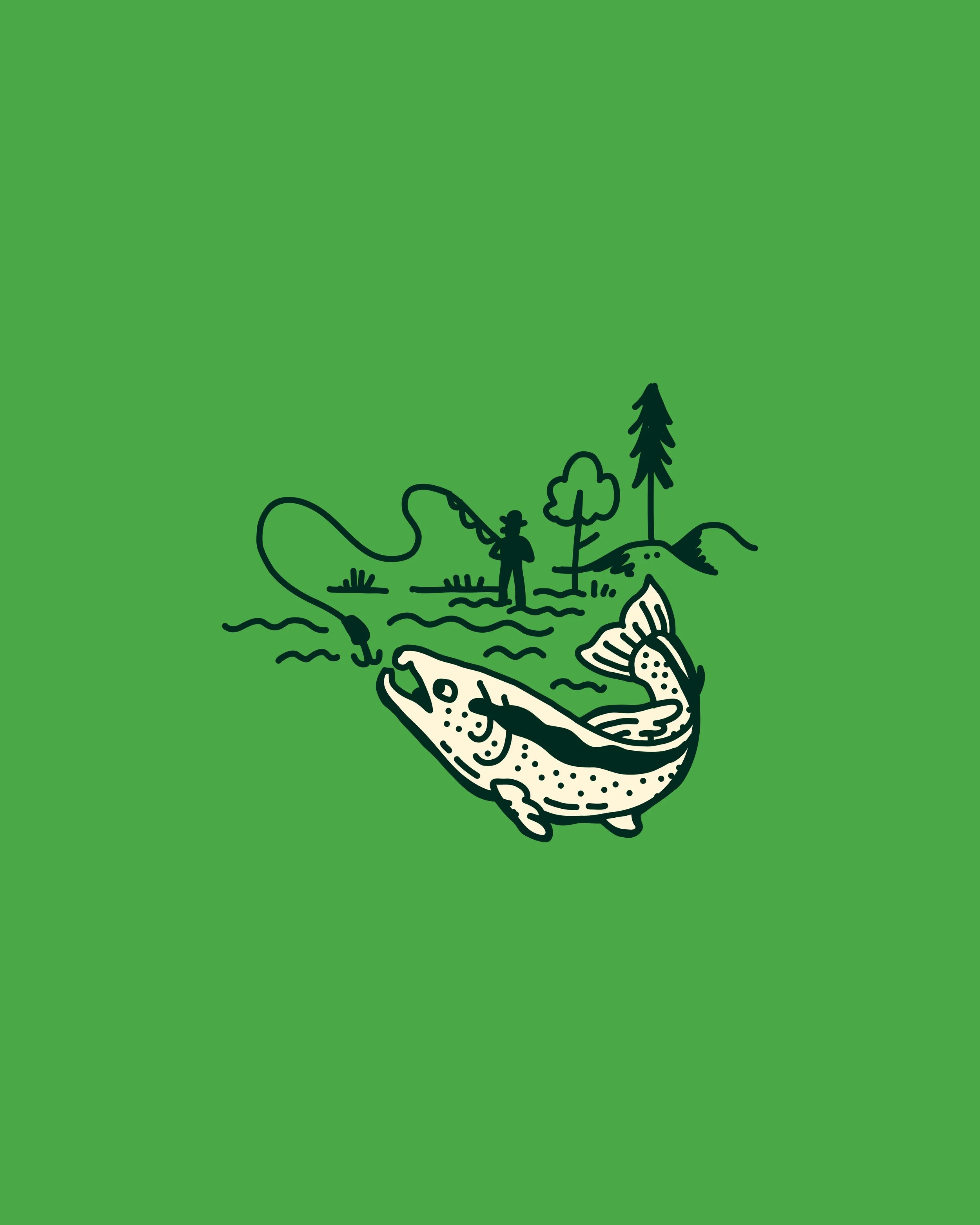
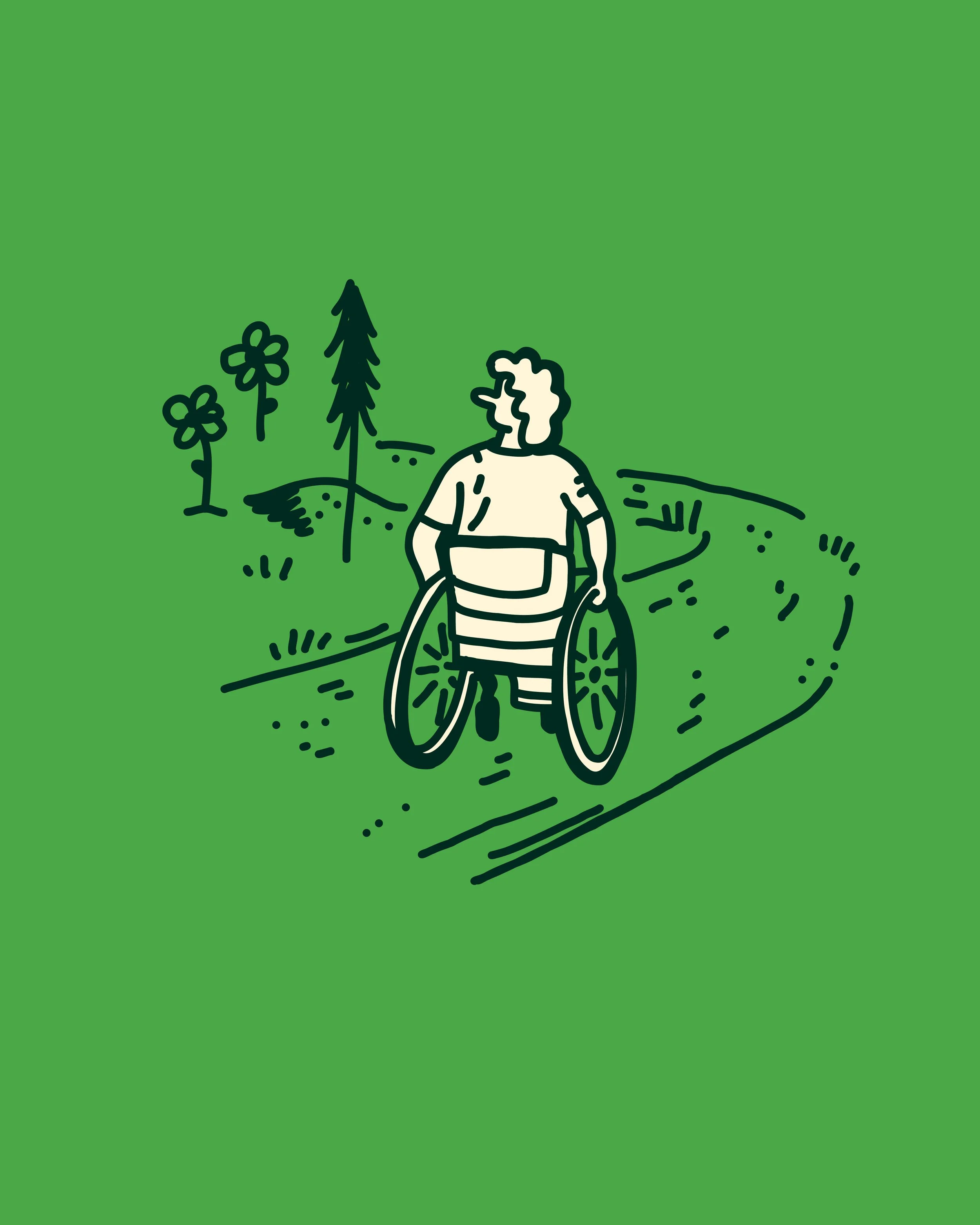
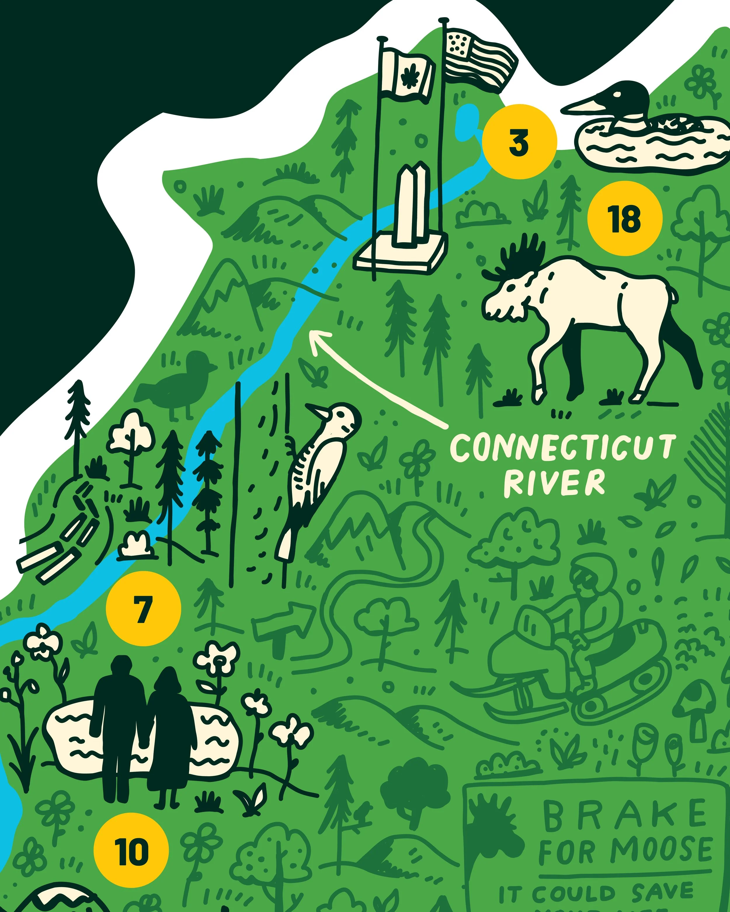
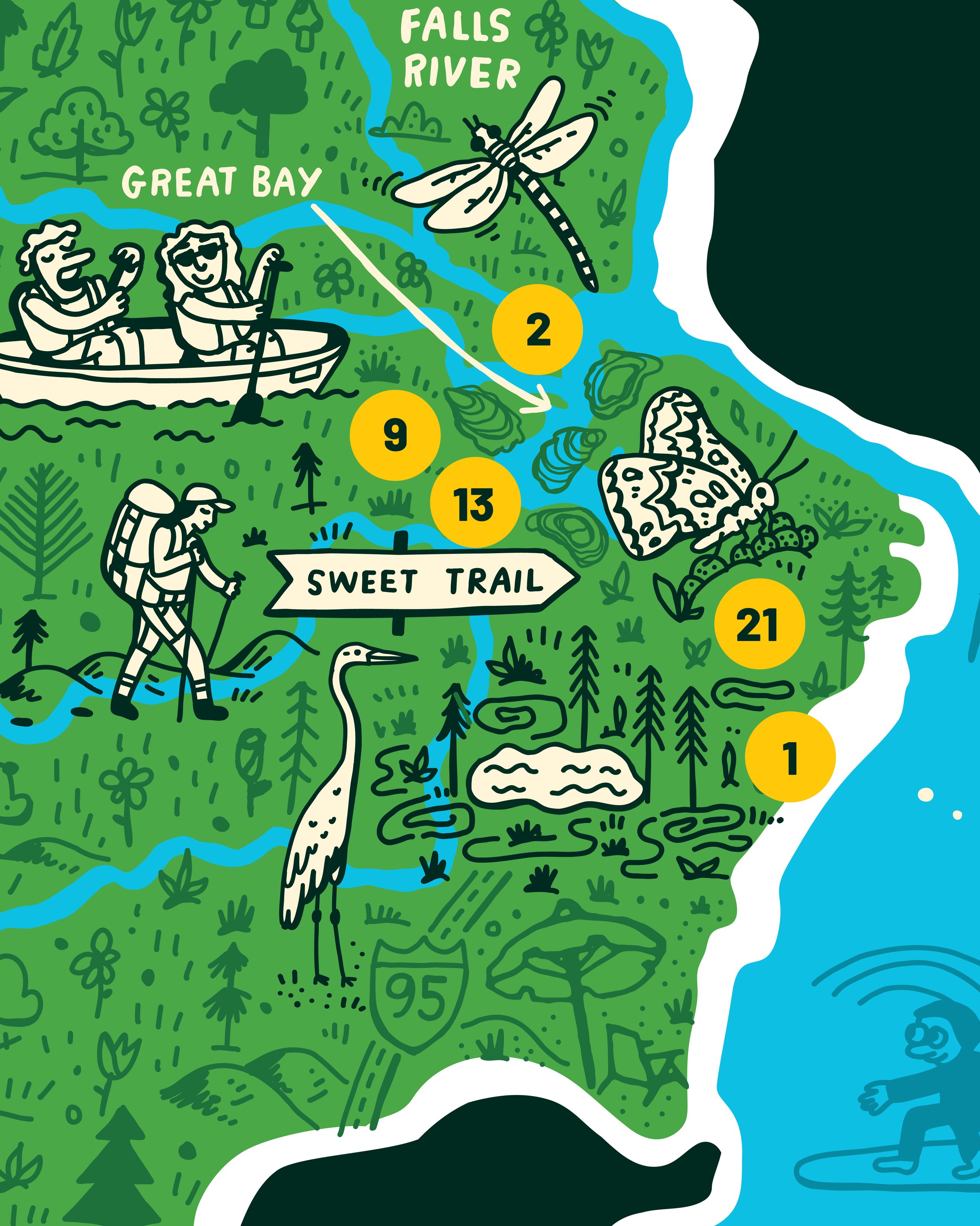
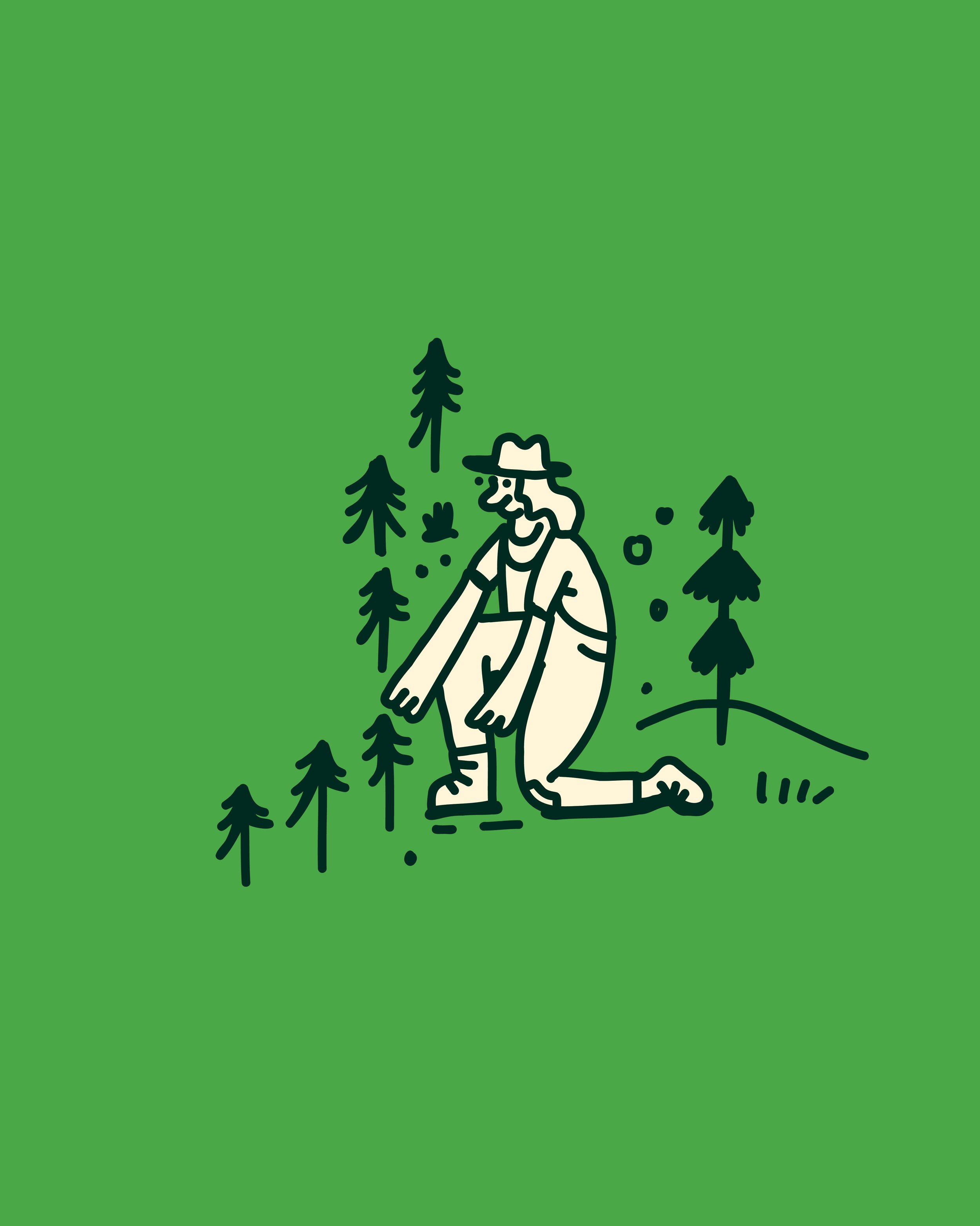
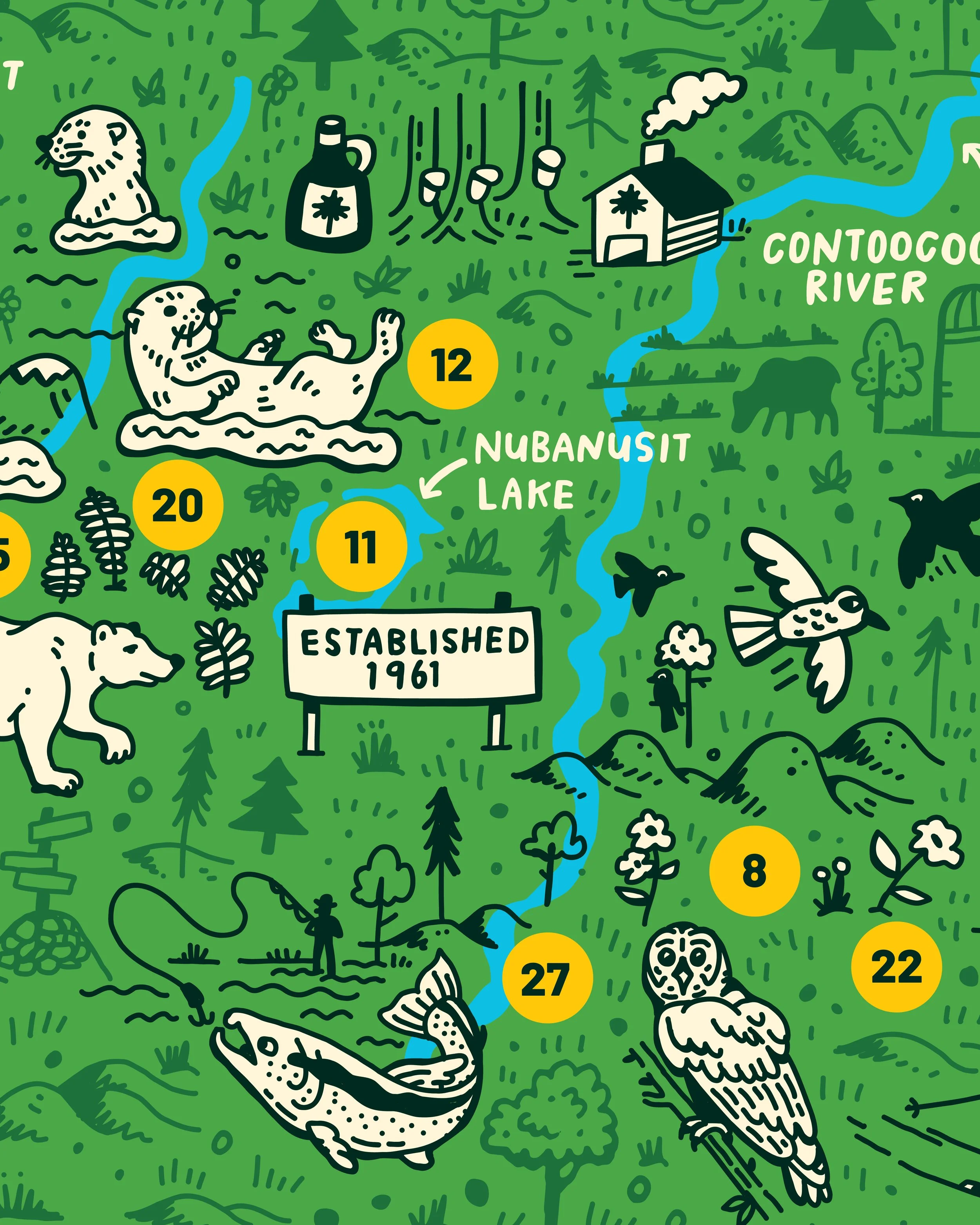
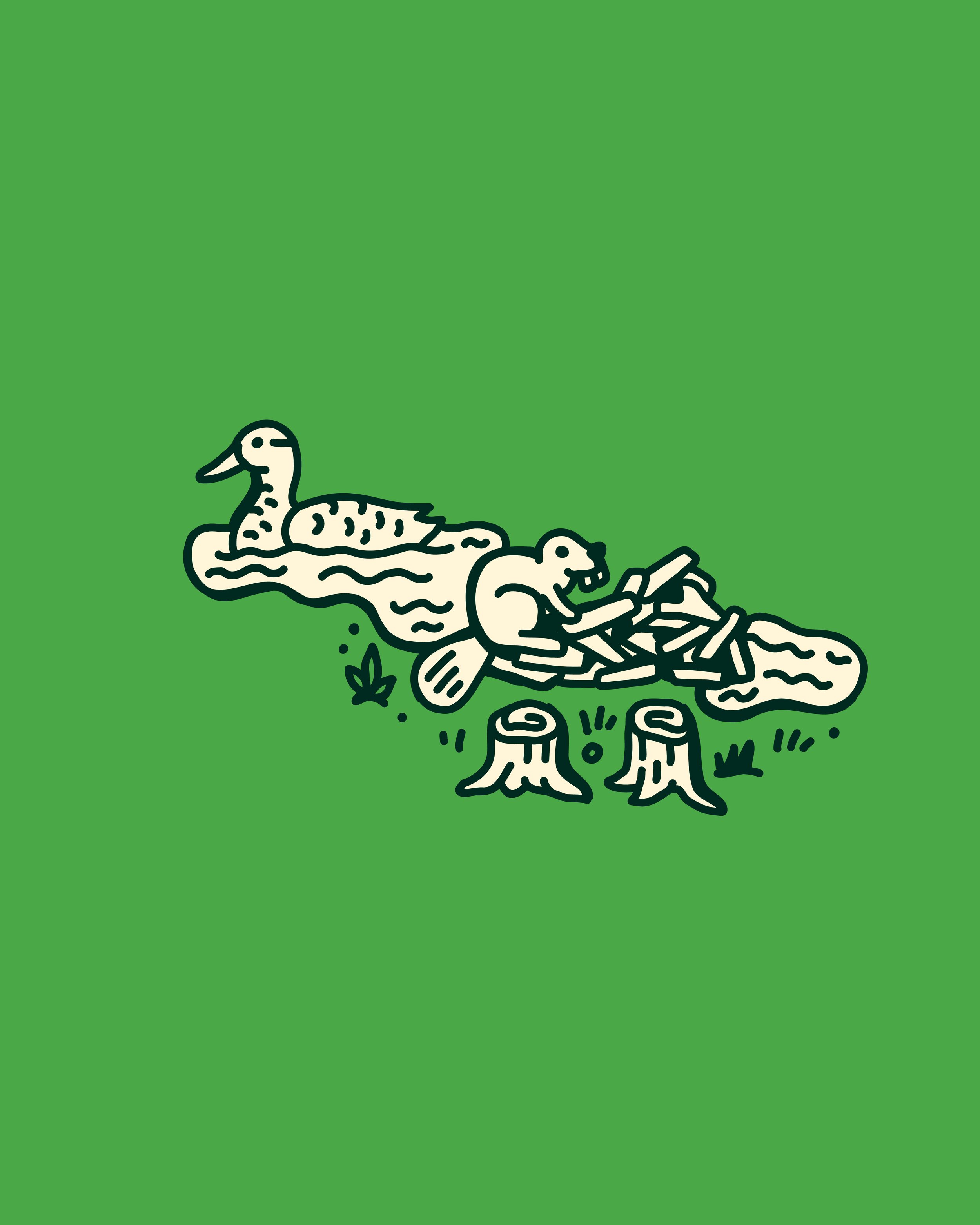
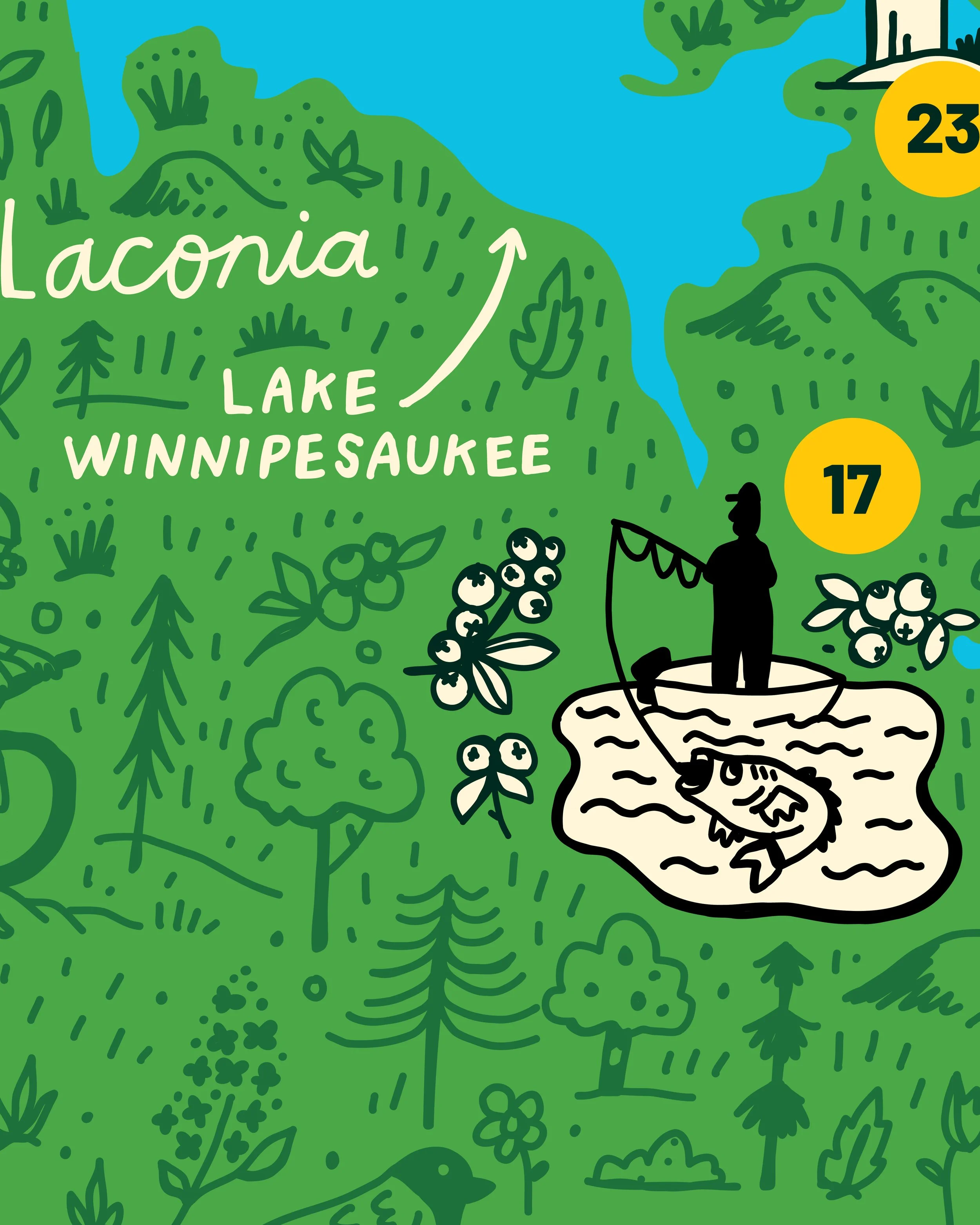
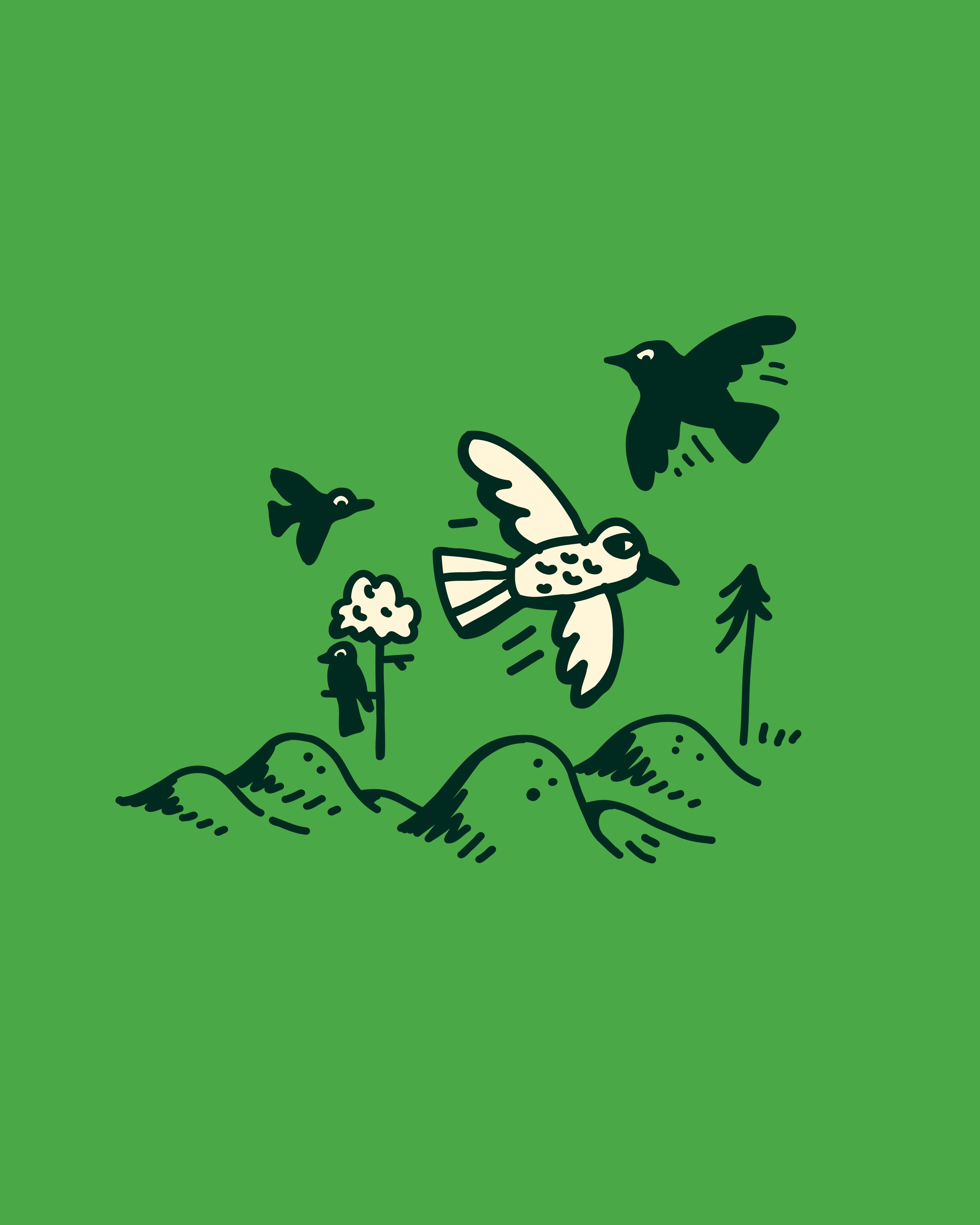
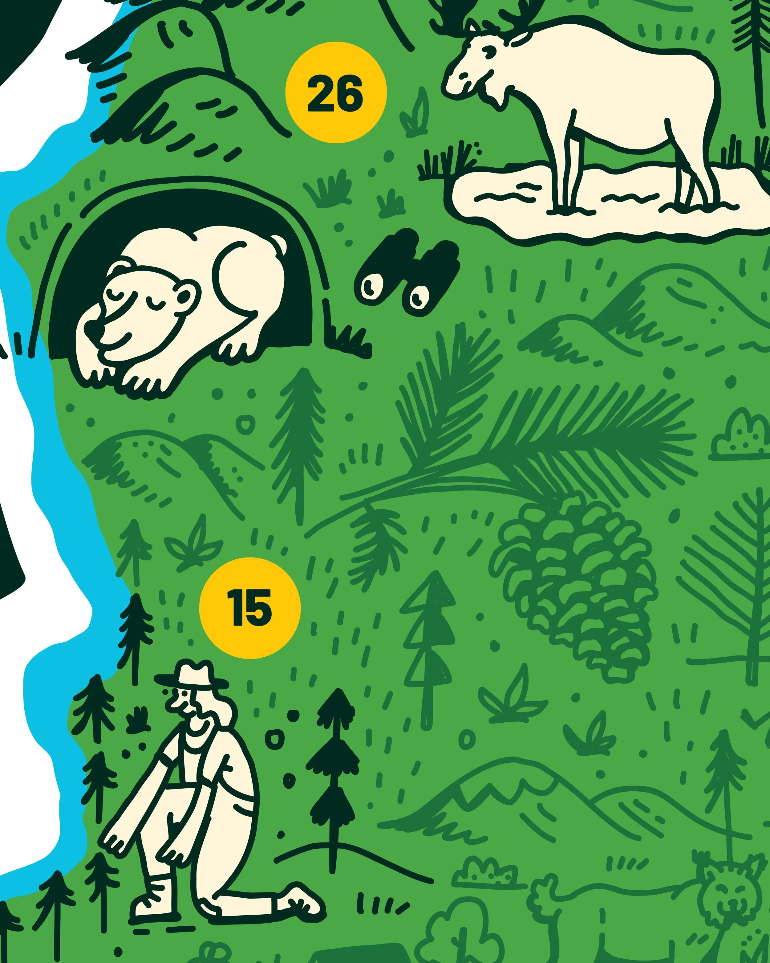
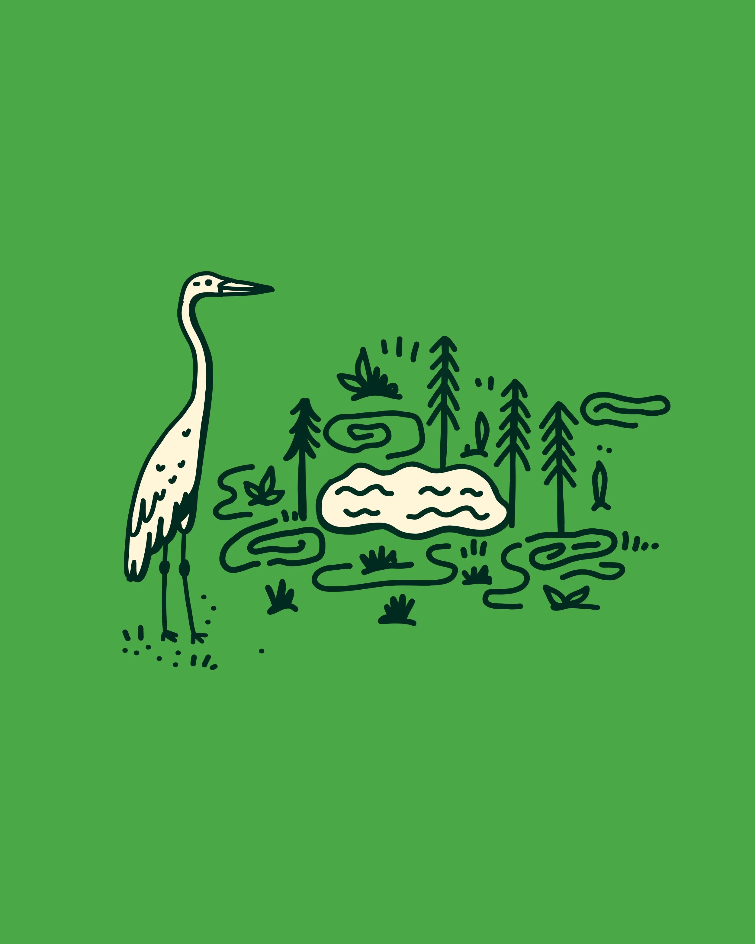
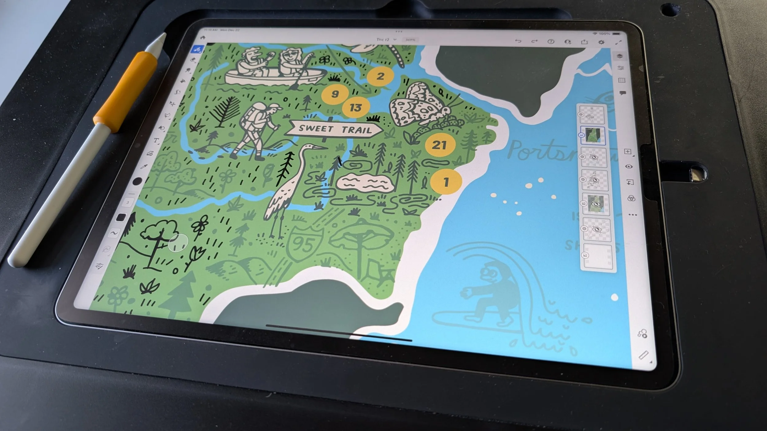
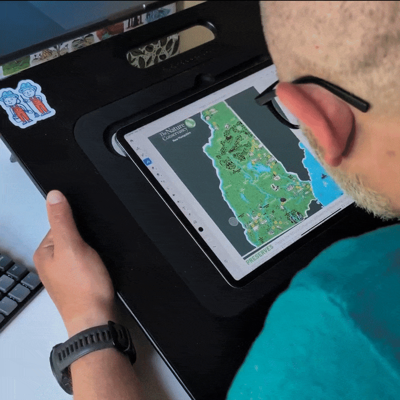
For the New Hampshire chapter of The Nature Conservancy I created a fully hand-drawn illustrated map of New Hampshire that brings together the geography, wildlife, and wild nature of New Hampshire. The map specifically highlights the 30 different preserves the Nature Conservancy stewards with each preserve represented by its own unique, identifiable icon and numbered tooltip that reflects the character of that specific place.
Designed as a donor gift, the illustration is best seen up close with layered details that reveal forests, rivers, towns, animals, and activities across the state. The map was produced in two sizes, 18” x 24” and 11” x 14”, and is being rolled out to supporters as a way to help them better see and feel the places their contributions protect.
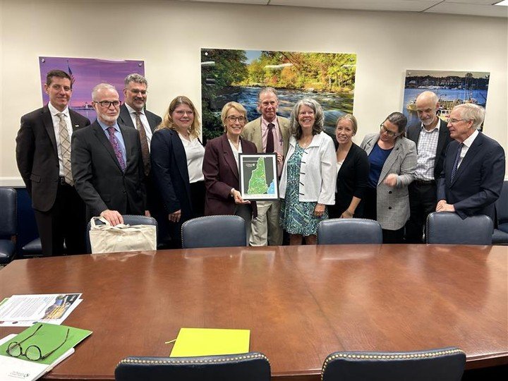
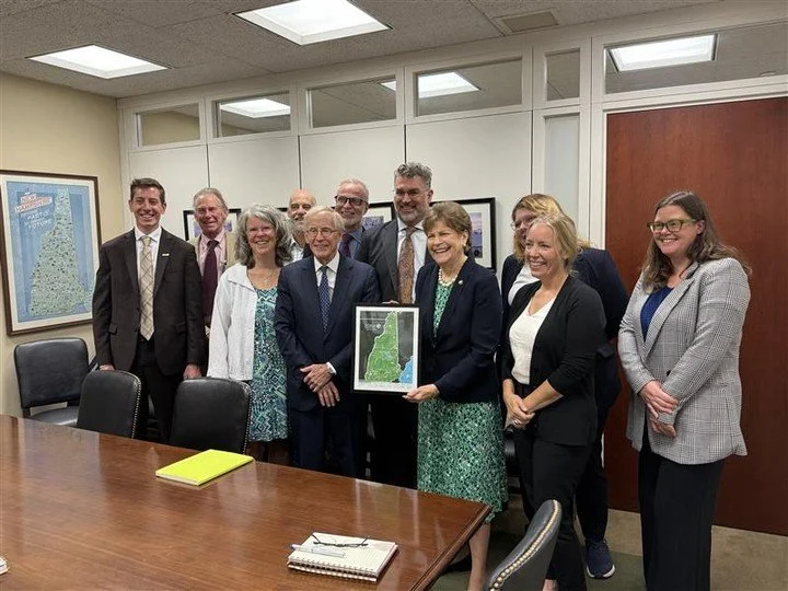
The prints even made their way to Washington, DC, where they now live in the offices of both New Hampshire senators as a reminder of The Nature Conservancy’s advocacy efforts.
My Role:
Illustration, Design
Creative Direction:
Brainstorm - Briana Feola
Client:
Nature Conservancy NH - Megan Latour, Crystal Paradis-Catanzaro